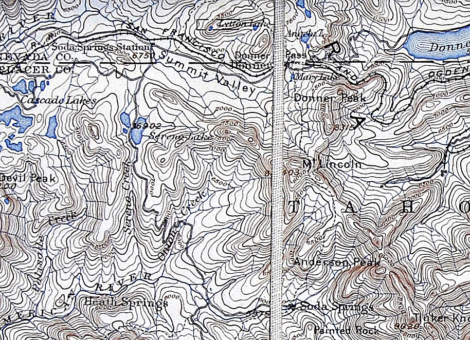
The map above comes from Milli Martin whose uncle, Herb Frederick ran the Norden Store for a long time in the 1930's. This is part of a topo map he had cut into sections and glued to cloth presumably so he could carry it on his many explorations and not damage it. The line down the middle is the space between glued sections. It is called, "Topographical Map Donner Summit 1030's" in the table to the right (although clicking on the map above will take you to the whole map in PDF form too). You can read about it in our November, 2010 newsletter. You can read about Herb and Lena of the Norden Store and Donner Summit in our 2/10 and 6/10 newsletters.
Note, this map is probably better when you click on it to see the full size version, shows the highway on the Lincoln Highway route rather than the current Old 40 route. It also appears to be prior to the Rainbow Bridge (completed 1926). Herb was on the Summit in the 30's so he probably bought an older topo.