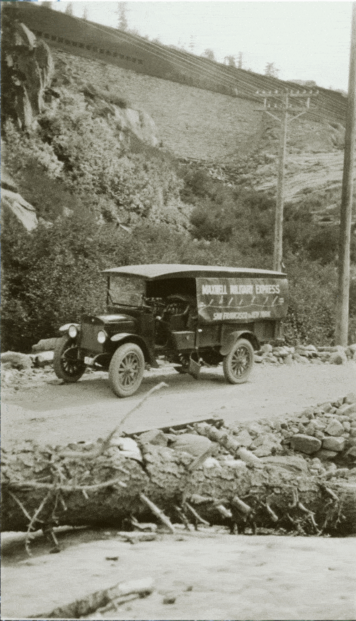
mMxwell MilitaryVehicle on the Lincoln Highway
This picture is part of the UMich archives of the original Lincoln Highway Association (1910-1927). The Association was made up of representatives from the automobile, tire, and cement industries, with the goal of planning, funding, constructing, and promoting the first transcontinental highway in North America. The route, consisting of both existing and newly-built roads following the most direct route possible, ran from New York to San Francisco, covering approximately 3,400 miles. In this spot the Lincoln Highway has descended from Donner Summit, passed under the railroad, and is headed for Donner Lake. At the top of the view is the China Wall.